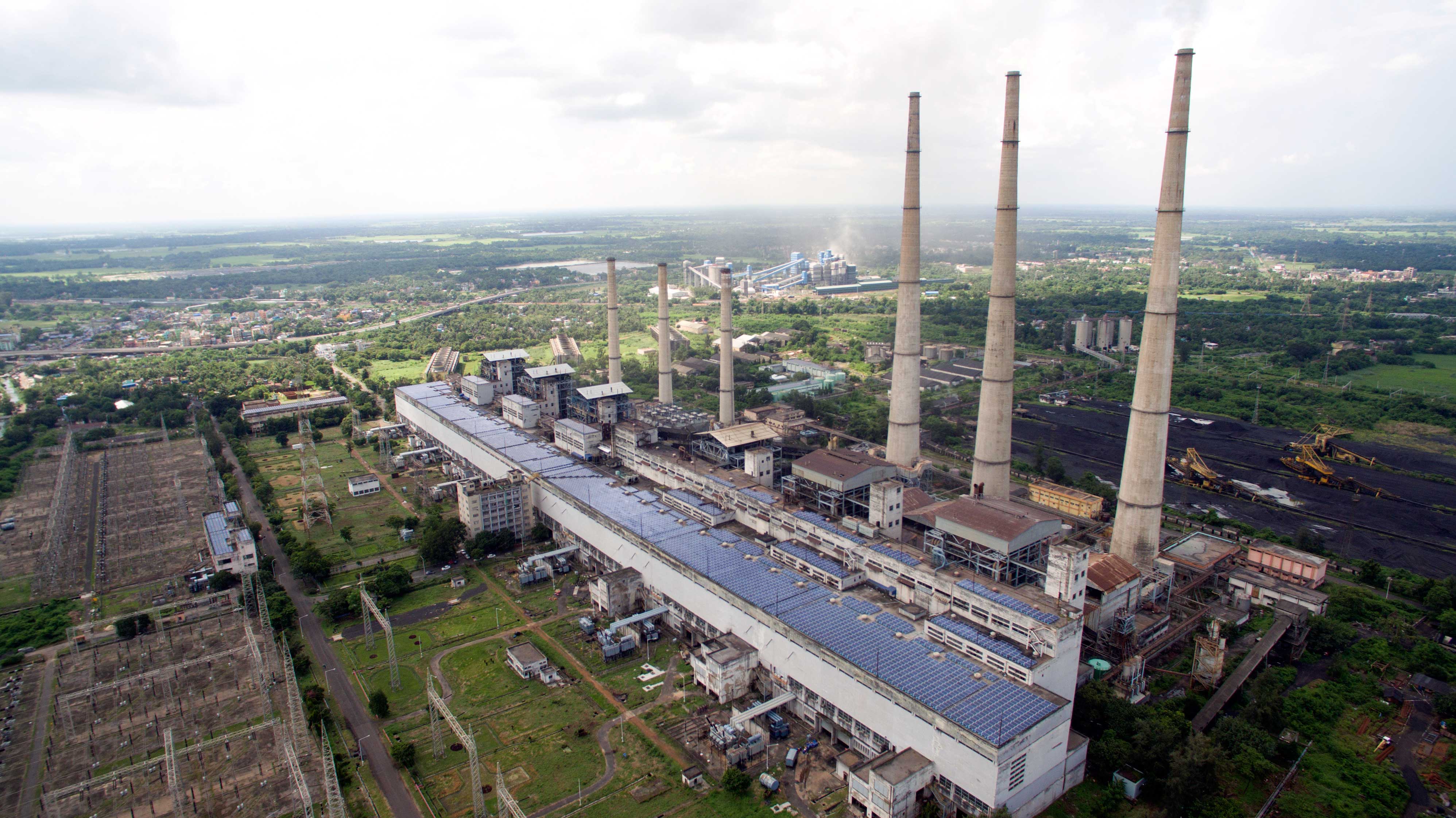
Gangaramchak & Gangaramchak-Bhadulia Coal Mine
- The Mine has been allotted to WBPDCL by Ministry of Coal , Govt of India , vide Allotment Order No 103/8/2015/NA DATED 31.03.2015.
- M/s Gangaramchak Mining Pvt Ltd the SPV of Consortium Ambey Mining Pvt Ltd & Godavari Commodities Ltd is selected as Mine Developer & Operator for this mine and Coal Mining Agreement was signed on 21.10.2016.
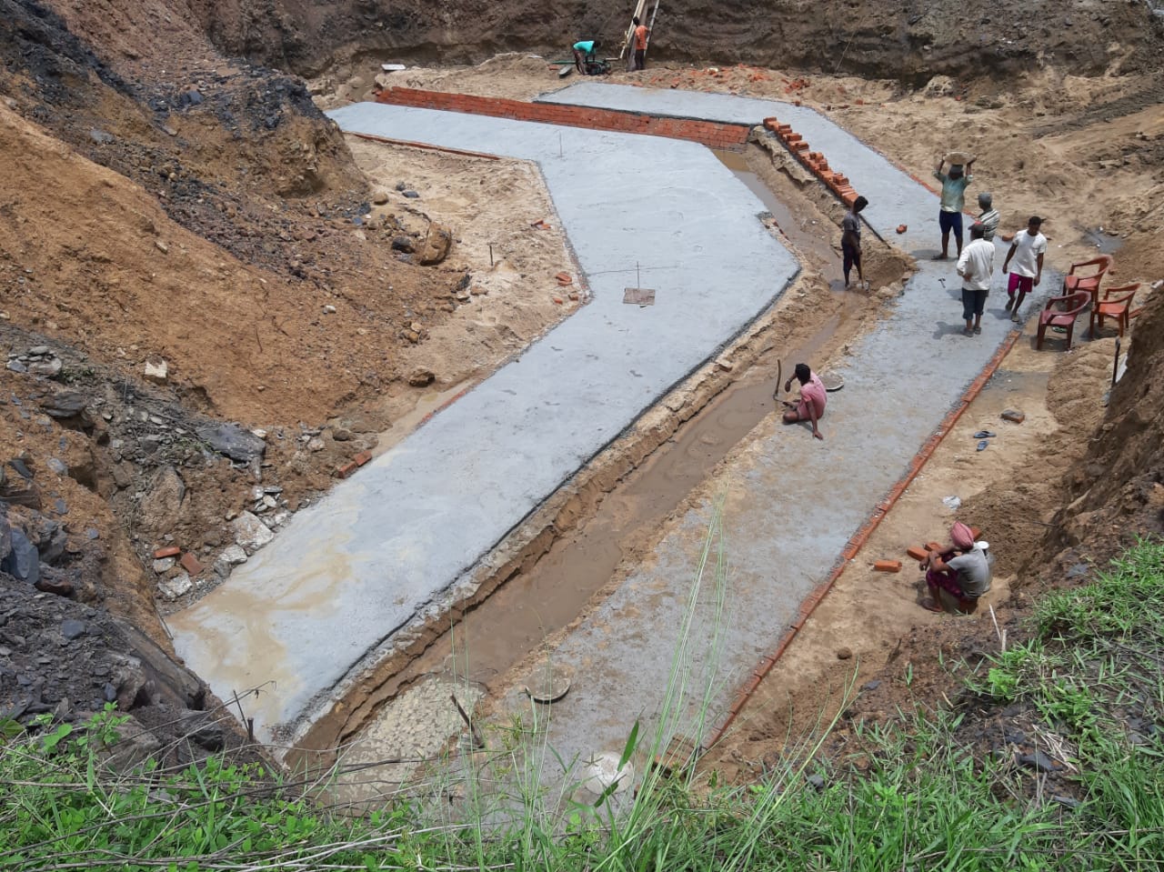
- The mine re-opening permission was obtained from Coal Controller , Govt of India on 24.04.2019
- The mine was re-opened by WBPDCl on 25.04.2019
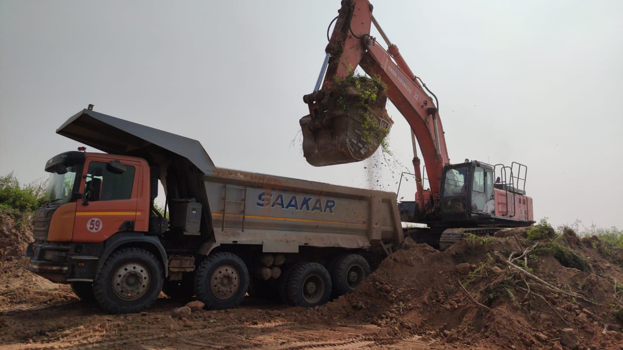
- Removal of overburden started on October 2019.
- Extraction of coal is expected to start from January 2020.
Brief description of the Mine
The Gangaramchak & Gangaramchak-Bhadulia Block Coal Mine is also located in the Birbhum District of West Bengal State. It is bounded by the latitudes 23o48’30”N to 23o49’25”N and longitudes 87o12’30”E to 87o13’50”E.
The Gangaramchak & Gangaramchak-Bhadulia coal block is a part of an isolated strip of coal bearing sediments of about 9 km in length in Trans-Hingla area of Raniganj Coalfield in the district of Birbhum. The block falls in Kasta area of Eastern Coalfields Ltd. and covers an area of 3.5 sq.km
The Gangaramchak & Gangaramchak-Bhadulia Coal Blocks is approachable by road. The Khayrasole-Panchra road connects the block with the Raniganj-Suri Road (State Highway) at Panchra. Another unmetalled road connects the Gangaramchak & Gangaramchak-Bhadulia Coal Blocks with Khyarasole.
In the Gangaramchak & Gangaramchak-Bhadulia Coal Block the lone workable Kasta seam occurs as a single composite section of thickness varying from 0.95 m in GRC-12 to 8.90 m in GRC- 28. The seam, however, splits in two sections in the adjoining Kasta East Block . The seam is inclusive of all bands and therefore, may be at variance with that considered for quality and estimation of reserves.
The reserve of the mine is 8.725 Million Tonne
The Average stripping ratio is 1 : 5.28
The Peak rated capacity of the mine is 1 Million Tonne/ year

